

Discovering Highwood Pass
Banff National Park is one of the most visited National Parks in the world. People come from all over to experience this amazing, majestic mountain park. But just east of it is a mountain park with mountains, lakes, rivers, an abundance of hiking trails, and more. Alberta’s Kananaskis Provincial Park is definitely worth a visit. We wrote a piece a few years ago called “A Daytrip to Kananaskis Country,” which you can read here.
Highwood Pass
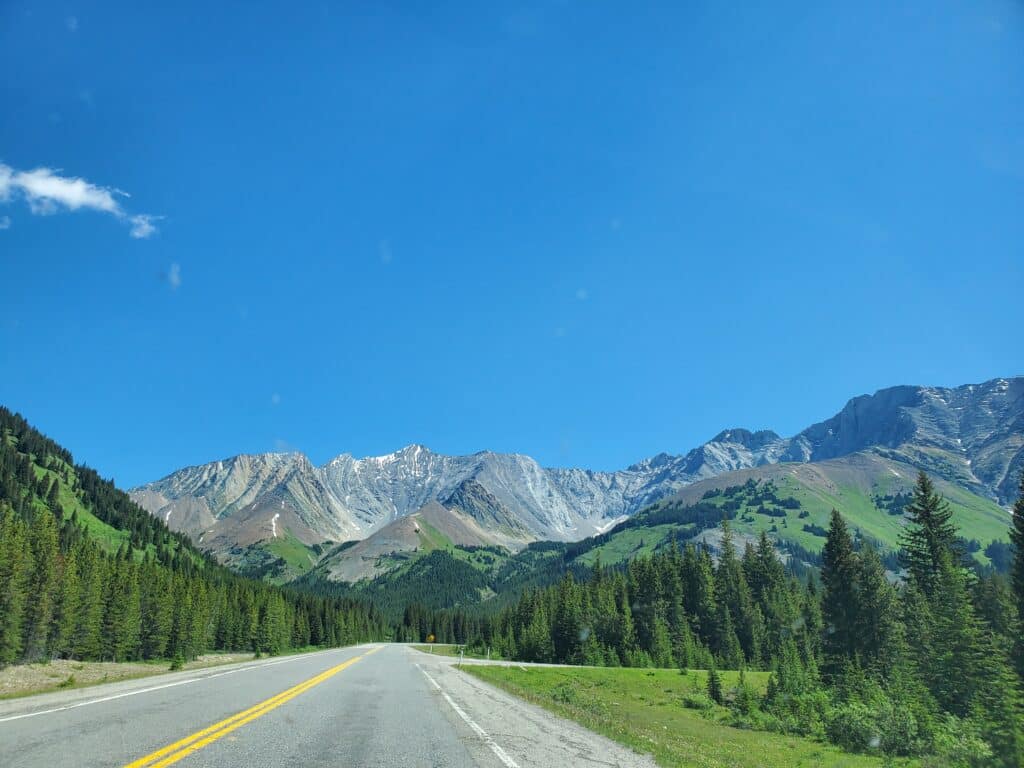
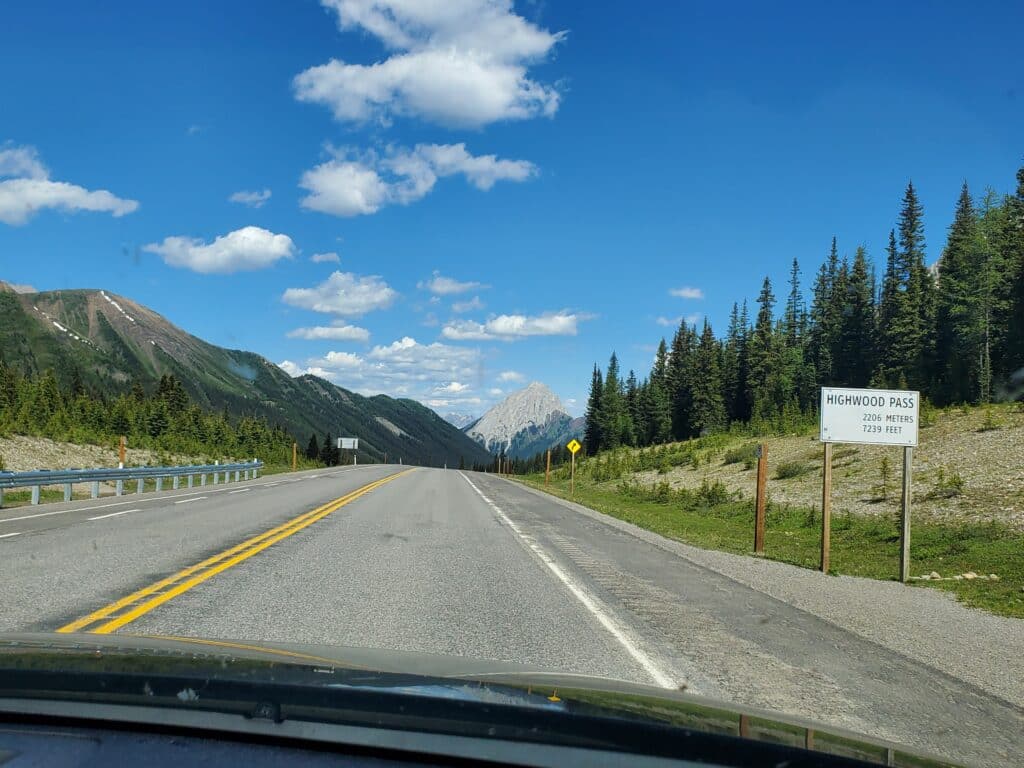
This article focuses on travelling Alberta Highway 40 to the summit of Highwood Pass. This scenic drive runs through the heart of some of Alberta’s most beautiful countryside. Highwood Pass has an elevation of 2,227 meters (7,306 feet) and is the highest paved public highway pass in Canada. The high elevation sections are closed to vehicle traffic from December 1st to June 14th to protect wildlife. Before travelling, check current conditions as periodic closures can happen.
Most visitors begin at the North end and travel south into the park. You can access it by turning south off the Trans-Canada Highway at the Stony Nakoda Resort. The pass summit is 67 kilometres from this point. Be aware that you will need a Kananaskis Conservation Pass. Purchased a day-pass online here.
Approaching from the South
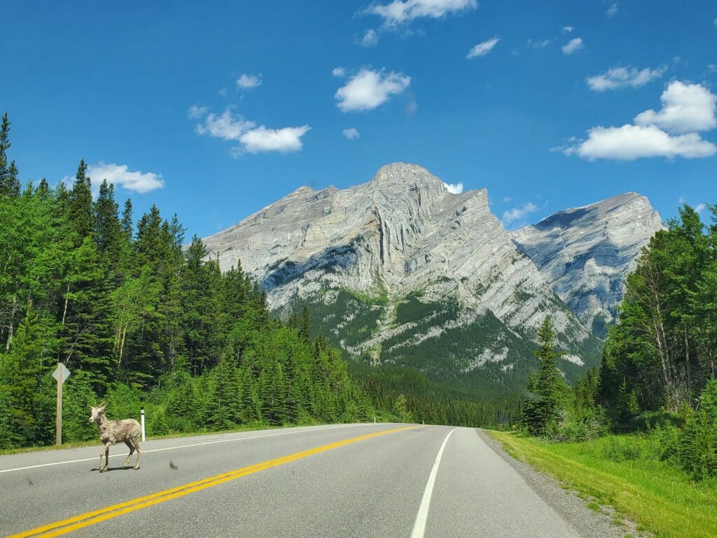
We recommend approaching the pass from the south. With most of the traffic through the park travelling north to south, traffic through that area is much heavier. And many visitors don’t continue to the summit. The park south of the summit is much less developed, which means more wilderness and more potential wildlife sightings. Heed all park warnings about wildlife encounters. ,You won’t find services like fuel and food as this area is undeveloped.
Planning your route
From Riverbend Campground, drive west to Diamond Valley and turn south on Highway 22 to the village of Longview. Turn right (west) on Highway 541. Note: Longview is the last opportunity for fuel. At Highwood Junction, 541 becomes Highway 40. A grocery store here is the last opportunity for food supplies. The summit is 38 kilometres from this point.
Stops and Trails Along the Way
Kananaskis Country is referred to as Alberta’s Mountain playground. Along the way here are scenic stops, day-use areas and hiking trails. On the AllTrails app and website, these trails are rated 4.5+, and range from Moderate to Hard difficulty. You will need to travel beyond the summit to find Easy trails. You can visit the AllTrails site by clicking here.
Conclusion
This area can be especially scenic in the fall with leaves turning sprinkled amongst the green of conifers. Whatever time of year you visit, take your time, and have your camera ready. For other day-trip ideas check out our website here. Your adventure of discovery begins by booking a stay at Riverbend Campground. Book online now.
BOOK NOW